Harvey Maps Lake District South East
Detailed map for runners and walkers of the south eastern fells of the Lake District National Park at the magic scale of 1:40,000.
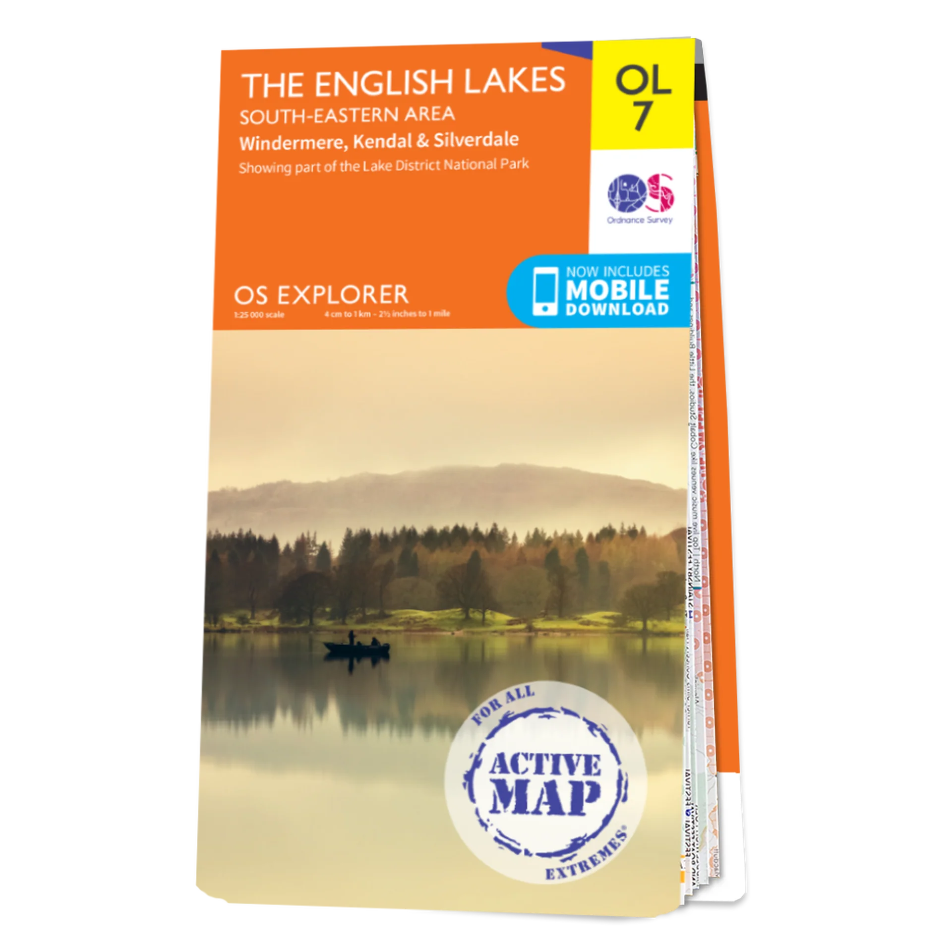
The map has Lake Windermere in the centre. Includes Ambleside, Coniston and Kendal and the superb mountain biking area of Grizedale Forest.
Specification
- Manufacturer: Harveys Map
- Map Area: Lake District South East
- Scale: 1:40000
- Printed on polyethylene (strong, durable & 100% waterproof)
- GPS compatible
- Page Size: 73 x 152 mm
- Weight: 40g
Related Collections
- If this isn't the right area, check out our full Harveys Map Collection
- Or for our full range of English maps including OS, check out our English Maps Collection
$5.16
Original: $14.74
-65%Harvey Maps Lake District South East—
$14.74
$5.16
Description
Detailed map for runners and walkers of the south eastern fells of the Lake District National Park at the magic scale of 1:40,000.
The map has Lake Windermere in the centre. Includes Ambleside, Coniston and Kendal and the superb mountain biking area of Grizedale Forest.
Specification
- Manufacturer: Harveys Map
- Map Area: Lake District South East
- Scale: 1:40000
- Printed on polyethylene (strong, durable & 100% waterproof)
- GPS compatible
- Page Size: 73 x 152 mm
- Weight: 40g
Related Collections
- If this isn't the right area, check out our full Harveys Map Collection
- Or for our full range of English maps including OS, check out our English Maps Collection